IST - Saturday, April 11, 2026 2:22 pm
Hot News

DMRC Partners with Mappls MapmyIndia to Power Real-Time Metro Navigation Breakthrough

Soniya Gupta

Updated on:

DMRC

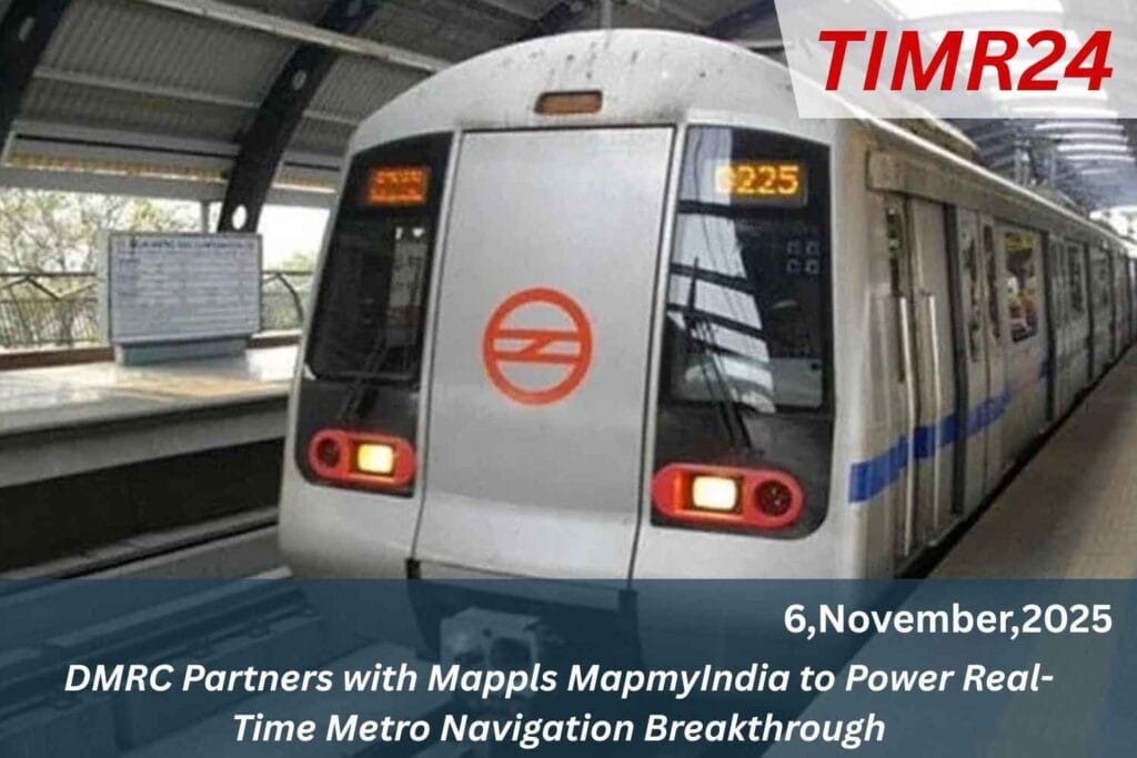
The Delhi Metro Rail Corporation (DMRC) has partnered with Mappls MapmyIndia to integrate metro data into the Mappls App, providing over 35 million users with real-time information on nearby stations, routes, fares, and more across the Delhi-NCR region. This initiative aims to enhance commuter experience through improved digital navigation, making metro travel smarter and more convenient. Dr. Vikas Kumar, Managing Director of DMRC, emphasized the commitment to using technology and innovation to facilitate better travel planning and connectivity in public transport.

The Delhi Metro Rail Corporation (DMRC) has once again demonstrated its commitment to innovation and commuter convenience by partnering with Mappls MapmyIndia, India’s leading digital mapping and geospatial technology company. This collaboration introduces real-time metro navigation, enabling passengers to plan and manage their metro journeys with ease and precision. As the lifeline of the National Capital Region, the Delhi Metro continues to embrace technology to enhance travel comfort, safety, and operational efficiency. With Mappls’ integration, DMRC aims to transform how millions of passengers interact with metro data, navigation tools, and live updates daily.

A Strategic Partnership for Smart Mobility

The partnership between DMRC and Mappls MapmyIndia is a major step toward achieving India’s Smart City and Digital India goals. The integration will allow metro passengers to access live route information, smart station details, real-time train updates, and AI-driven route planning through the DMRC app. The inclusion of Mappls’ real-time location intelligence not only enhances the commuter experience but also contributes to DMRC’s broader mission of sustainable and efficient urban mobility Mappls, a flagship product of MapmyIndia, brings over two decades of experience in geospatial data, AI-powered navigation, and IoT-based analytics.

The platform’s real-time maps and indoor mapping solutions will help metro users identify station facilities, exits, restrooms, lifts, and escalators, while also guiding them to connecting public transport options such as feeder buses and e-rickshaws Through this integration, commuters will gain access to dynamic navigation tools within the DMRC application. Users can view live metro timings, expected train arrivals, platform directions, and even interchanging corridors all updated in real-time. The Mappls mapping layer syncs directly with DMRC’s operational data, ensuring accurate information about train schedules, station crowd density, and potential delays.

Benefits for Metro Commuters

Another powerful feature is door-to-door route guidance. The system allows travelers to enter their starting point and destination, after which it automatically generates the fastest, most efficient route including walking paths to metro gates, train interchanges, and last-mile connectivity. This (Highway) AI-enabled system ensures hassle-free travel planning, making Delhi Metro one of the most advanced public transport systems in India For millions of Delhi Metro users, this partnership offers unmatched convenience and accessibility. Commuters can now make data-driven travel decisions choosing the fastest routes and knowing the exact waiting times at stations.

Moreover, features like offline navigation and 3D interactive station maps provide flexibility even in low-network zones The integration is particularly beneficial for first-time metro users and tourists visiting Delhi NCR. It helps them navigate the complex metro network confidently, with step-by-step guidance from entry gates to platforms. Additionally, accessibility features are being designed for differently-abled passengers, ensuring inclusive mobility for all From a safety perspective, the real-time update system allows DMRC to issue live alerts and emergency notifications, helping manage crowd flow and operational responses more efficiently.

Advancing India’s Smart City Vision

The collaboration aligns seamlessly with India’s Smart Cities Mission and Digital India initiative, both of which prioritize data-driven public transport systems. By using Mappls’ indigenous technology, DMRC is supporting the growth of local innovation while promoting sustainable, eco-friendly commuting habits Reducing the dependency on private vehicles through efficient metro navigation directly contributes to lowering traffic congestion and pollution across the capital. It also enhances Delhi Metro’s role as a model for green mobility and intelligent transport infrastructure in India The success of this collaboration lies in the advanced.

Geospatial AI and 4D digital maps developed by MapmyIndia. These technologies combine high-definition mapping, satellite imagery, IoT-based live tracking, and artificial intelligence to produce an accurate, real-time navigation ecosystem Mappls’ smart APIs are being used to link metro operational systems with commuter applications, offering synchronization between train schedules and map updates. This allows users to view the nearest stations, entry/exit gates, last-mile transport links, and even estimated travel costs. In the future, DMRC aims to integrate AR (Augmented Reality) navigation and voice-assisted guidance, making metro travel even more intuitive.

Beyond passenger benefits, the partnership brings operational (India) efficiency for DMRC. The use of real-time analytics enables better decision-making related to train frequency, passenger movement, and energy optimization. Data gathered thro

Q1. What is the DMRC–Mappls partnership about?
It’s a collaboration to offer real-time metro navigation through Mappls technology on the DMRC platform.

Q2. How will it benefit daily commuters?
Passengers can track trains, plan routes, and navigate within stations easily using live updates.

Q3. Will this feature be available on the DMRC app?
Yes, Mappls features are integrated directly into the official DMRC mobile app.

Q4. Is the service available across all metro lines?
Initially across key routes, it will expand to all Delhi Metro lines gradually.

Q5. How does it support Smart City goals?
By enhancing public transport efficiency, reducing congestion, and promoting eco-friendly mobility.

#DMRC #MapmyIndia #Mappls #DelhiMetro #SmartNavigation #MetroApp #DigitalIndia #UrbanMobility #PublicTransport #TechPartnership